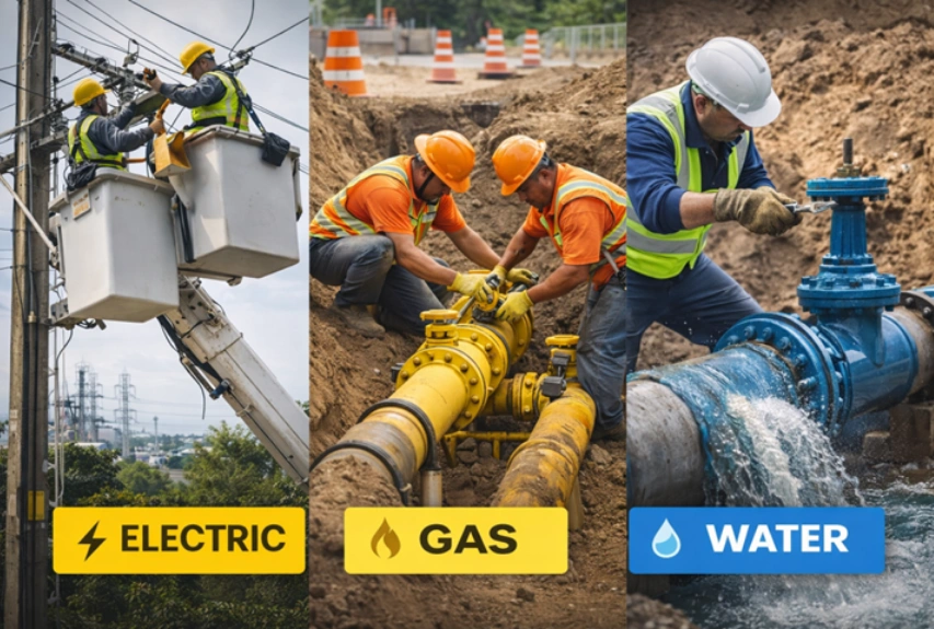
Electric and Gas Utilities
Maps utility assets with precise accuracy.
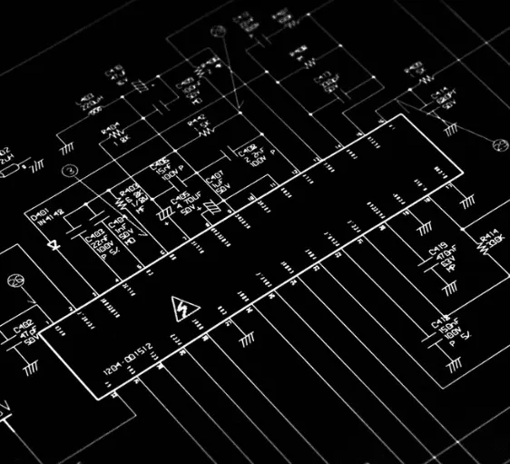
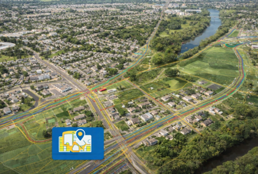
SCADD is the preferred mapping service provider for the world’s leading utility companies. SCADD ensures business continuity and relevance by providing GIS, remote sensing, and computer-aided design and drafting solutions to major electric and gas utilities throughout the world. SCADD specialises in reliable and efficient GIS platforms such as ArcFM, ArcFM UT, GE Smallworld, Ericsson Network Engineer, 3-GIS, AutoCAD, MicroStation, and other industry-standard tools for providing complete Utility Mapping Services.
How Do We Work For Electric Utilities?
Design area boundary
Address list prepare
Pole identify
Underground area verification
Handhole and PED position
LCP and OLT area verify
Pole loading capacity Check
Mid span verify
Packaging and Pre-Permit work

Electric Utilities
Pole Cable Replacement & Rearrangement
Pole replacement and structural mitigation design
Make-Ready Engineering
Cable-level design updates to address loading, clearance and configuration changes
How Do We Work For Gas Utilities?
Our team oversees the entire process from start to finish. During the planning stage, we evaluate multiple considerations. Using Geographic Information Systems (GIS) guarantees precise outcomes. Conventional obstacles have no impact.
Area Scope
Plant Location finalize
Drafting Pipeline design
Valve Position
Contract and Agreement
Material selection
Safety plan
Testing
Maintance plan
Pre-permit Work
Cross section
Planning
New lateral lines
New connections
Land Base Creation
Electric Utilities
Distribution Network Design and Update
Design of electrical cables both UG and Aerial and boundary design
Routing power cable network to the home
Feature and power station locating
Update of distribution lines, service connections on the customer’s GIS
Field sketches and photographs
Attribute capture