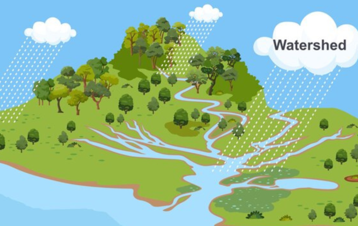
GIS for Watershed Characterization and Modeling
To maintain water quality, maintain a healthy ecosystem, and offer ecosystem services, watersheds must be protected and managed effectively. It has long been understood how crucial it is to include the spatial dimension of watershed characteristics and processes in watershed models. The geographical characteristics of watersheds may be described, visualised, and analysed using geographic information systems (GIS). A potent combination for analysing spatiotemporal watershed dynamics and assisting watershed management is the integration of GIS with watershed models. This article’s goal is to lay the groundwork for understanding GIS as it is used for watershed characterization and modelling, specifically for hydrologic modelling.
The co-evolution of GIS and hydrologic modelling, as well as their eventual integration, are covered in this article. Data models, data collecting, metadata, georeferencing, basic thematic data layers, and scale and data uncertainty concerns are some of the subjects covered by GIS. The spectrum of applications for GIS and watershed models is discussed, along with integration types for GIS and hydrologic models. The fields of geographic information science (GIScience) and geocomputation, new data sources, web-based geographic information systems, and integrated watershed management are among the other areas where future developments are taken into consideration.
In general, the disciplines of distributed hydrologic modelling and water resources engineering and science have greatly benefited from the application of GIS. The contribution that GIS and geospatial theories and technology may make to watershed modelling may be considerably improved by new developments in a number of geospatial domains.
Data models outline the potential and constraints for digitally simulating spatial elements from the real world. A data model is an abstraction or a way for people to conceptualise reality.
The trend in watershed modelling has been impacted by developments in GIS and remote sensing methods. For instance, geographical data on land usage and soil type may be obtained repetitively at regular grid intervals using remote sensing techniques (such as radar and satellite photography). Hydrologists’ use of GIS technology has made a significant contribution to this development by giving them new tools for speeding up computation, handling and analysing large databases describing the heterogeneities in land surface characteristics, and enhancing the display of model results. Watershed modelling has surely moved to a more dispersed representation by accounting for the geographical and temporal fluctuations in characteristics like soil, land use, and precipitation due to the increased availability of reasonably comprehensive spatial information and flexible GIS capabilities.
Application of GIS for Watershed Characterization and Modeling
GIS is a very effective tool for developing the watershed region with all of its socioeconomic and natural aspects for better project design, execution, and monitoring. It provides distinct perspectives for analysis at various levels to diverse watershed partners.
the quicker evaluation of natural resources including soil, geology, drainage, etc. using data from remote sensing.
The key features that set different watershed modelling systems apart are the algorithms (or solution methods) employed, the choice of a stochastic or deterministic approach to the specification of input or parameter values, and the lumped or distributed nature of the geographical representation.
GIS Watershed Functionality
The development of the use of watershed models is greatly aided by GIS technology. Watershed modelling uses GIS in four different ways: hydrologic assessment, model setup, parameter determination, and modelling inside GIS.
I am text block. Click edit button to change this text. Lorem ipsum dolor sit amet, consectetur adipiscing elit. Ut elit tellus, luctus nec ullamcorper mattis, pulvinar dapibus leo.
Hydrologic Assessment and Model Setup
Utilising GIS to analyse numerous hydrologic parameters in order to determine risk or susceptibility to pollution, flood, drought, erosion, etc. is known as hydrologic assessment.
To measure the relative contribution of different elements to the flow of water (and frequently contaminants) within a basin, this form of evaluation use weighted indexing techniques. In order to provide the fundamental framework for using both lumped and distributed watershed models, model setup entails describing the topography, borders, and drainage networks of a watershed.
GIS provides data production and administration, automatic feature extraction, and watershed delineation as well as other useful tools to creators and managers of watershed models.
Parameter Determination
The capacity to determine numerous parameter inputs is a crucial component in modelling watershed dynamics.
For watershed modellers and managers, knowledge about precipitation, soil characteristics, and land use/cover is crucial. Parameter determination entailed generating the required inputs from accessible data in various ways, unlike data generation, when you would be required to gather elevations or other attributes and enter them into your model.
Model-GIS Interface
The Microsoft Component Object Model compliant architecture is a feature of many GIS software packages, enabling developers of watershed systems to use macros and object-oriented programming languages (such as Visual Basic for Applications-VBA, C++) to create user-friendly GUIs and applications for integrating GIS and water resource models.
Future Trends
The use of GIS technology in watershed modelling has been extremely valuable and offers watershed managers the possibility of future advantages. The research on this subject demonstrates that watershed stakeholders are becoming more adept at using GIS for watershed modelling. This is demonstrated by efforts made by government organisations to share watershed data with stakeholders and by a general dedication to enhancing GIS-based watershed modelling tools. The ability of GIS-watershed model interface developers to create intuitive solutions will be crucial to the success of these initiatives.
Conclusions
The use of watershed-scale modelling is a crucial component of watershed management. The advantages of adopting these models include their capacity to support a range of applications, including peak flow computation, future sediment loading and runoff, evaluation and construction of TMDLs, and flood hazard mapping. In order to comprehend and portray these processes, major advancements in watershed modelling rely on spatial datasets (such as DEMs, LULC), GIS, and remote sensing technologies (such as NEXRAD, LiDAR). By providing the necessary tools for carrying out hydrologic assessments, model setup tasks, parameter extraction, user-friendly interfaces, and dissemination of watershed and related information via the Internet to various stakeholders, GIS technology has significantly improved watershed modelling efforts.
By offering adaptable platforms to facilitate the development of hybrid watershed modelling systems, real-time data gathering, and the deployment of web-based watershed modelling applications, future trends indicate that GIS will continue to affect watershed modelling. This movement looks to be being led by open source GIS software, which has tremendous potential as a more affordable alternative to conventional commercial GIS.