
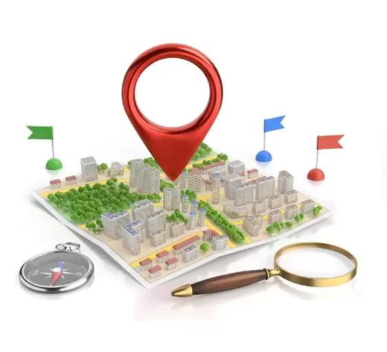
GIS Mapping Services
Geography is upgrading science and society in ultimate, persistent, and enduring ways using Geographical Information Systems (GIS).
Customers in the communications and utilities, automobile, rail industries, energy and natural resources, and the public sector need geospatial services known as GIS Mapping Services and solutions.
Types Of GIS Mapping
Parcel Mapping
Cadastral Mapping
Indoor Mapping
Utility Mapping
Geological Mapping
Geo Database
LULC Map
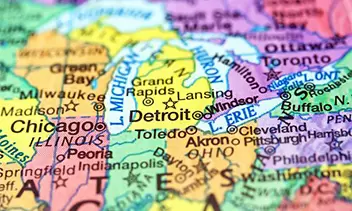
Base Map
Geo referencing
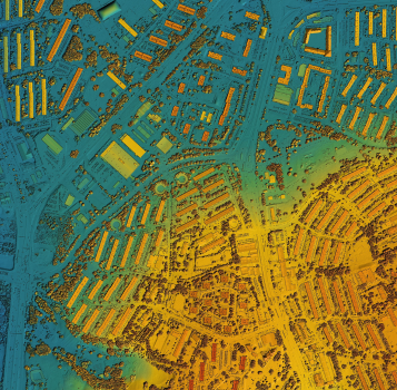
Topographical Mapping
Data Conversion
Map Digitization
Advanced GIS & Integration
Explore 3D mapping, spatial analysis, and predictive modeling for detailed insights across industries like agriculture, transportation, and disaster management.
Integrate with leading platforms like Esri ArcGIS, QGIS, and Google Earth, leveraging APIs for effortless data exchange, IoT synchronization, and collaborative tools for streamlined workflows and enhanced decision-making.
Utility Mapping
Aerial and UG Route design
Corridor Mapping and Routing Methodology
Our GIS Mapping Services
Planning of Smart Cities
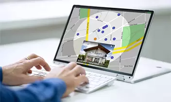
Location Intelligence
Transportation Design
Base Mapping
Utilities Mapping
3D Building and Cities
Telecommunication Mapping
Agriculture Monitoring
Natural Resource
Geo referencing
Topographical Mapping
Property Marking
Surveying
Business Analysis
Our GIS Solutions for Industry 4.0
With the growing and promising paradigm shift of industry 4.0, the world has entered the twenty-first century. Rapid advances in technology have made what was once science fiction a reality.

Smart City
Geo Referencing

Telecommunication

3D City
Location

Transportation
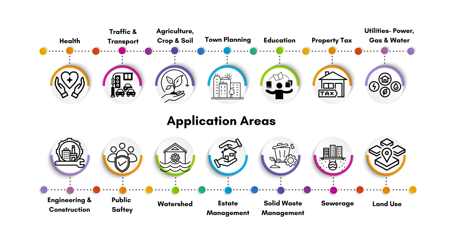
Work Experience & Application Areas
At Sudarshan CADD, our world wide product design experience enable customers to reduce overall product development cost and visualize product better before they actually build. We create effective blue prints to make sure it manufacture first time right.
Our Achivements

Repeat Business

Global Client

Completed Projects

Countries Served
Why Choose Us For Your GIS Project?
Fast turnaround of your GIS projects
First Time Right permitting drawings
Accurate GIS documentation
Reduce cost of spatial data analysis

FAQ
What types of data are used in geospatial services?
What are the applications of geospatial services?
What role does GIS (Geographic Information System) play in geospatial services?
How are geospatial services used in urban planning and development?
What are some emerging trends in geospatial services?